Sunday, February 2, 2020
Today dawned bright and clear, the first sunny day since mid November. I debated running out to River Song, but I’ve been trying to cut down on driving since I saw last month’s gas card bill. Between the two trucks and the weekend runs out to River Song, eastern Washington, the mountains, and last month’s mini vacation to Surfside, I’ve been running up almost $500 a month in charges since moving to Olympia.
 That’s gotta stop.
But, there was no way I was going to waste the first sunny day in almost three months.
I flipped through my Urban Trails Olympia guidebook, looking for a trail at least four miles long and within ten or 15 miles driving distance. Most trails were three miles or shorter. I could do a shorter trail twice or add a few loops, but I also wanted to go somewhere new.
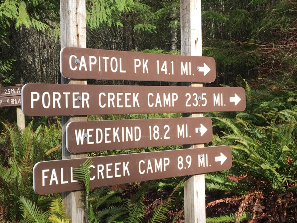
Mima Falls State Park: My guidebook promised a six-mile hike with 575 feet of elevation gain. It was further than I liked at 24 miles, but I’d never been there. I have friends who have, and they’ve all spoken very highly of it.
I loaded up my daypack with water, my lunch, rain gear, and the ten essentials, and headed out.
 I got to the trail head at noon. I was a little concerned because rain clouds appeared overhead the further south I drove, but I must have eventually left them behind because there was nothing but sun at the trail head. The parking lot was full, including a half dozen or so horse trailers. My guidebook had warned me to be vigilant for horses and mountain bikers.
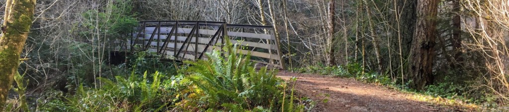
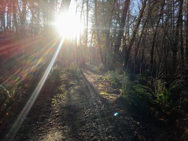
I headed out after a quick stop at the loo. The trail was well worn, well marked, and easy to hike. While there was mud in some places, there were no tree roots or other obstacles to trip me up. I made pretty good time to the trail’s first intersection.
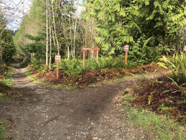
I wasn’t really sure which way to go. My guidebook was out of reach in my pack, and I didn’t feel like digging it out, so after a quick look at the map on the signpost, I decided to head out on “Mima Falls Trail East.” It seemed as good a trail as any. I didn’t see anything on the map that indicated where the falls were, so any trail was just a guess.
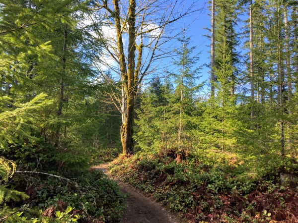 Again, this trail was well worn, well marked, relatively flat, and easy to hike. Some muddy areas, but not bad. The sun brought out the colors in the leaves and contrasted them against the brilliant blue sky. It was a warm, welcome relief from the months of gray and rain. It didn’t take me long to start shedding layers, despite the near-freezing temperature. I was glad I made the trip out here.
I ran into a hiker couple after about a mile and asked them if they knew where the falls were. The man pointed behind me, to the trailhead, and said he thought they were in that direction. I was pretty sure they were not as I had just come from there, but I thanked him and continued on.
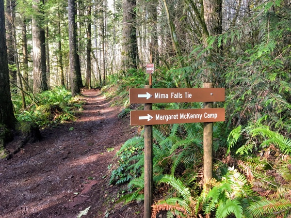
I ran into another couple a mile later at the intersection of Mima Falls Trail East and Mima Falls Tie Trail, and they informed me the falls were a little further ahead, at the day use area down the Mima Falls Trail West trail. They had just come from that direction. Nice! I could eat lunch there. I had packed two breakfast burritos and an apple to eat on the trail, and I was getting hungry.
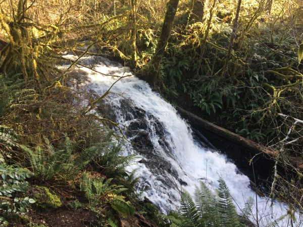 I headed on down the trail, dodging a couple of mountain bikers, and about a quarter of a mile later, reached the falls. The falls really weren’t much to get excited about, but it was a nice little picnic area. It had a table, a hitching post, and something I could only guess was a mounting block for equestrians. (It had a placard stating it was built and donated by a local equestrian club.) The picnic table was soaked from the weeks and weeks and months of rain, so I dropped my pack on the gravel-filled mounting block.
I only took about twenty minutes for lunch. Although I had not really encountered a lot of people on the way out, I surely did at the day use area! Everyone must have been behind me because a steady stream of people made their way to the falls, spent a few minutes, and then headed back to the parking lot. It wasn’t quite the peaceful break I had been looking for. I was a little astonished to see most people didn’t have any water or extra clothing, not even parents with little kids. Even an out-and-back hike is five miles, and it’s not unusual in this part of the country for the weather to change pretty rapidly. What could start as a sunny hike could easily end in a torrential downpour.
Before heading out, I took a look at my hydration bladder. It had stopped working on the way out, the third time it had done this. I spent a few minutes trying to figure out why it wasn’t working, and soon concluded it was fruitless. There must be a defect either in the hose or in the bladder’s connection that was blocking the flow of water. For now, I could drink straight from the bladder. But, this would not be very convenient on a backpacking trip. Time for a new hydration bladder!
 I loaded up my daypack again and headed back down the trail, passing groups of people and dogs on their way to the falls, sandwiched between boisterous families on their way back to the parking lot. Fortunately, this part of the trail is only about a quarter-mile long, so I took a left at the trail intersection, heading up Mima Falls Tie. No one else was heading in this direction, and the sounds of people were soon behind me. Peace!
The Mima Falls Tie Trail began by climbing a couple hundred feet over a half mile to the top of a ridge. Interestingly, the gravelly sandy trail changed to red clay on the way up, and I had to be more intentional in my steps to avoid slipping. However, the climb wasn’t too steep, and I was able to maintain a steady pace. Once I reached the top, the trail then followed the ridge line for almost a mile. I only ran into two solo hikers on this stretch.
The trail descended pretty quickly, meeting up with Capitol Forest Road, before continuing as Campground Trail on the other side. For just a moment, I was tempted to take the road, but I didn’t know where it went, so I continued on the trail. I could have pulled out my guidebook, but it’s more interesting to just follow a trail to see where it leads.
More descending. By this time, I had hiked 4.29 miles, and my feet and knees were getting a little tired, so I pulled out my trekking poles to help reduce the stress. They helped. I hadn’t seen a trail map in a while, but I guessed I had only about two miles or so more to the trail head. Maybe another hour of hiking. The sun was already getting low in the sky, so I picked up my pace.
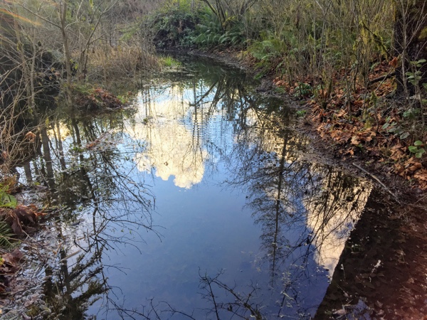 About a half mile further, the trail was completely flooded. There was no way around it, and I was too tired to hike back to the road, so I picked my way carefully through the water, trying to step on broken branches and hassocks. I’m not sure it made any difference as the water still covered my boots. Fortunately, my waterproof boots kept my feet dry. I really didn’t want to hike in wet socks!
I climbed out of the flooded area and back on the road again. Another road crossing! And, on the other side, more flooded trail. It was deeper this time. And longer. But it looked like I could walk along the edge by leaning on my trekking poles. I gave it a try and gingerly made my way down the trail. Success!
That was the last of the flooded trail. About a mile later, I reached the original trail intersection and headed down the last bit to the trail head. It had been a fun hike. Taking the Tie trail had added almost two miles to the trip, and I found the peaceful, meditative hike I was looking for. And, had a more strenuous workout. I was happy with that.
And happy, too, to see Big Red waiting for me at the trailhead.
 Stats:
 Stats:
Trip out:
- Distance: 2.54 miles
- Elevation Gain: 245′
- Elapsed Time: 1:23:43
- Moving Time: 1:08:53
- Average Moving Pace: 27:33
- Best Pace: 14:41
Trip back:
- Distance: 4.14 miles
- Elevation Gain: 377′
- Elapsed Time: 2:10:14
- Moving Time: 1:57:51
- Average Moving Pace: 28:27
- Best Pace: 15:03
 Daypack: about 15 pounds, trekking poles included. Included ten essentials, lunch, and two liters of water.
This is a very popular hiking destination with well maintained and marked trails. Lots of families with little kids, and also horses, mountain bikers, and trail runners. I’m really glad I hiked here today, but honestly, it’s a bit too popular for me. I prefer to get more off the beaten track.
Mima Falls State Park is in the Capitol State Forest and requires a Discover Pass.