Saturday, January 4, 2020
I decided to continue heading south after leaving the Worldmark sales office early Saturday afternoon. There was still plenty of daylight left, and there were two lighthouses close by. I love lighthouses. My ex and I spend a whole week lighthouse hopping up and down the Oregon coast about twenty years ago, and it is still one of my most memorable vacations.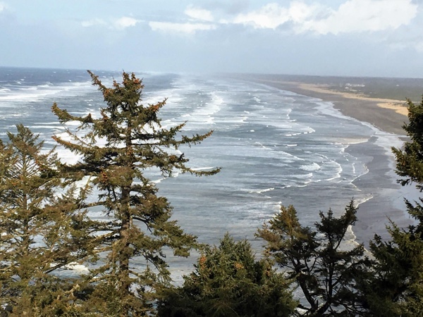 I took a ton of photos and even created a Windows 98 lighthouse screensaver and sold copies for a couple of bucks for a few years. But, I haven’t visited any lighthouses since.
The North Head lighthouse is only about five miles from Long Beach, and the Cape Disappointment lighthouse about two miles further south. Fortunately, I have both a (Washington state) Discover Pass and an (federal) America the Beautiful Pass, so I didn’t have to worry about parking. As itt turns out they’re both state parks.
The North Head lighthouse parking lot was pretty empty when I pulled in. I hadn’t checked any websites or guidebooks, so I really didn’t know what I was in for. Other than, you know, a lighthouse. There was a white building with a high chain link fence around it at the end of the parking lot. Some kind of administration building, I guessed, because it had no lighthouse attached to it. A couple of pave paths lead away from the parking lot, and I picked one that headed north into the woods. It seemed like as good a place as any to start.

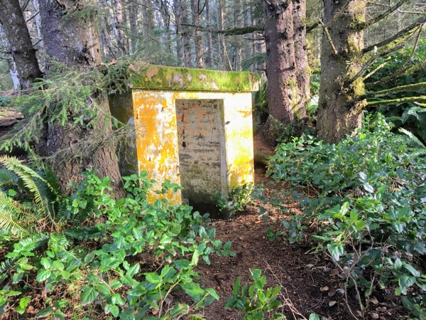
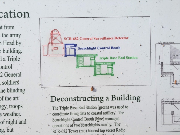
I went a short distance up the trail and came across a cement bunker off to the left. I could tell from the design that it was probably something left over from WWII or possibly the Cold War. (SRC-682) The doors and windows were missing, so it was open to the elements. And people and critters. There were no signs barring entrance, so I peaked through one of the doorways. The low-ceilinged room was dark, and the floor covered with water. It was too creepy for me to go inside.

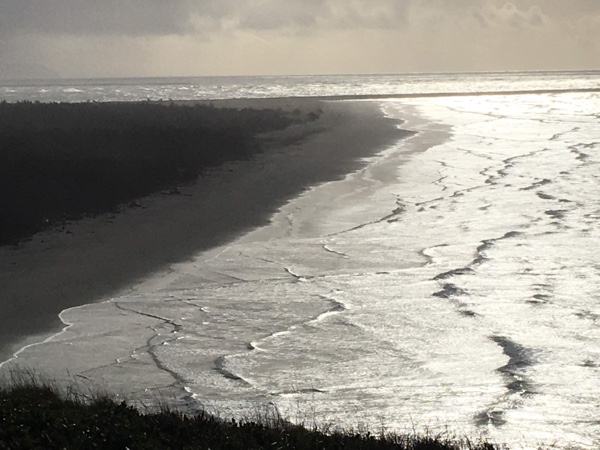
I walked around to the front. The bunker was built into the hill that sloped down to a bluff overlooking the ocean. The front revealed a lower floor with a long, narrow, wrap-around window, giving it a 270-degree view. At the time this was built, it probably had an unobstructed view of the ocean, but trees now partially blocked it.
Again, the low-ceilinged room was open to the elements. It, too, had a doorway at the end of a very narrow entryway. I stuck my head in and could see a small stairway leading down to another floor below, as well as a narrow stairway leading to the floor above. It was pretty creepy; I couldn’t get myself to go in. Plus, the low ceilings and narrow passages made it look like it had been built for Hobbits. And everything was damp and covered with mold and moss. Definitely not a healthy environment!
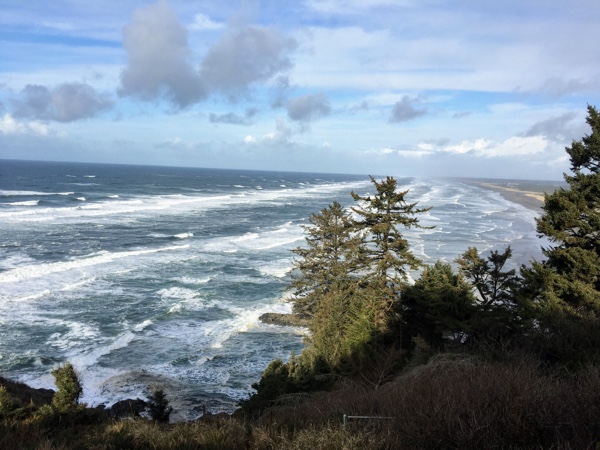
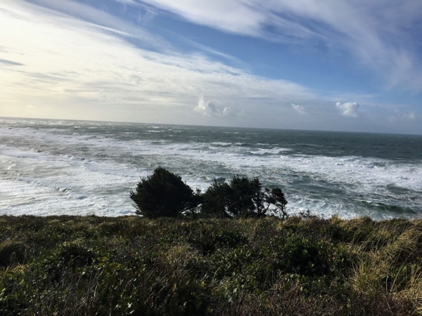
 After exploring as much as I was willing to, I continued on down the rest of the path. It didn’t go far and ended at a spectacular viewpoint looking back toward Long Beach. I took a couple dozen photos and then headed back toward the parking lot.
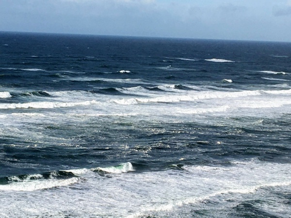
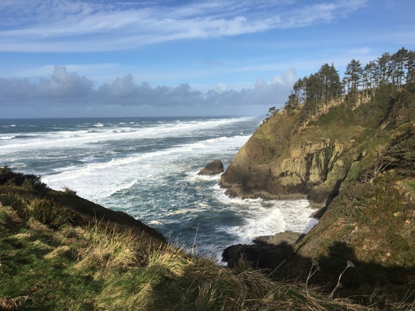
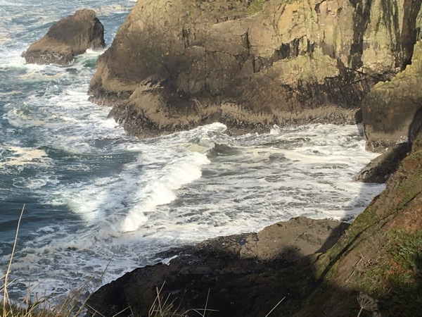
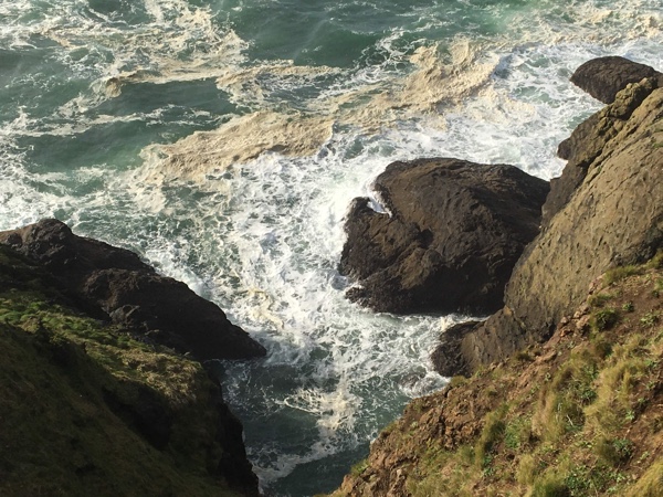
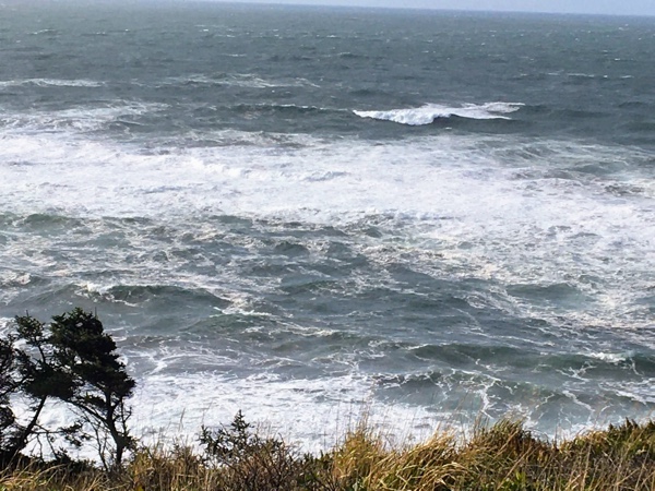
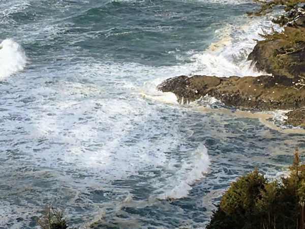
This time, I took the paved path leading out toward (I assumed) the lighthouse. The path skirted the edge of the cliff overlooking Deadmans Hollow, providing stunning views of the ocean crashing against the rocky cliffs below. Ocean spray flew high into the air.
The lighthouse itself was closed. I think it’s probably always closed as I climbed up and looked in one of the windows, and it looked pretty trashed inside. Not trashed by humans or critters, but trashed by time. It really needed some serious restoration, which made me sad. When I went lighthouse hopping along the Oregon coast, all of the lighthouses we visited had been lovingly restored, and we were able to go inside. But, that was twenty years ago, so it may not be the case today. It certainly wasn’t the case with this lighthouse. It was stunning on the outside, but not so much on the inside.
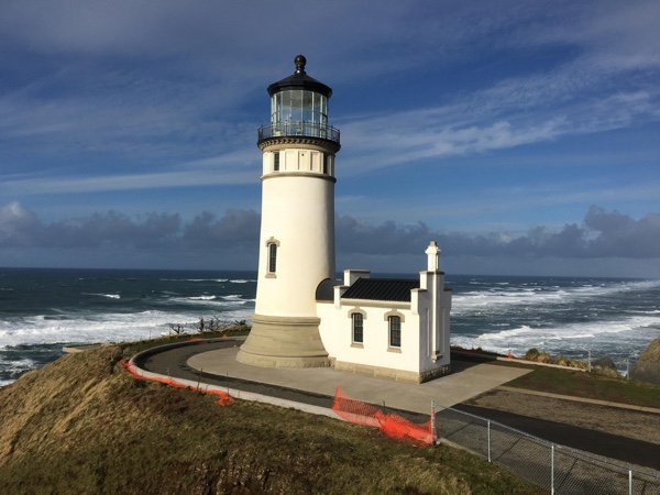 After walking around the lighthouse and taking a couple dozen more photos, I headed back up toward the parking lot. Just as I got to the parking lot, I spied a trail off to the right. I had no idea where it went and decided to check it out. I wasn’t sure if it was an official trail–the others were all paved paths–and I was curious to see where it went. Instead of quickly petering out, as I thought it would, it wound through the trees, climbing gently for about a quarter mile, and then dropped steeply into a valley far below. As I started descending, I ran into a small group of hikers, who told me the trail continued to the bottom of the valley.
One of them looked me up and down. “You’re sturdy! You can do it!”
That made me feel good. However, I debated whether to continue. I had already hiked quite a bit, especially considering my early morning hike on the beach, and I had to pee. I should have asked if there was a porta potty at the bottom, but I didn’t think of it. I figured I would go a little further and see how I felt.
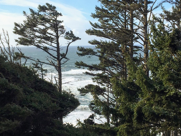
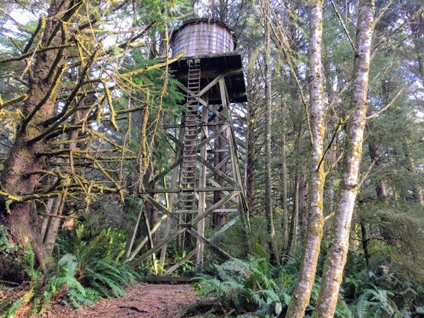
 It was pretty interesting. I checked out the trees, seeing if I could identify them. I’m kinda pretty sure I could, but I wasn’t positive. Curiosity kept me descending. I wanted to see what was around the next corner, and I wanted to see what was at the bottom. But, I also wanted to see the second lighthouse. However, I knew if I didn’t exercise some self control, I would keep going until I ran out of steam and got myself in trouble. It was already pretty late in the afternoon. I didn’t want to get stuck on the trail in the dark. Plus, I still had to pee. The hillside was so steep there was no place I could go off trail.
But, I could go a little further, at least.
I came to a wood walkway that hugged the hillside before crossing a little stream and climbing again. Climbing wasn’t going to get me to the valley floor. But the trail might start descending again soon, so I kept going, around a sharp corner. I went a little further and came to another wood walkway, with the trail still climbing.
OK. Time for me to turn back. Continuing on might mean I wouldn’t get to see that second lighthouse. As curious as I was about where this trail led, I was still more curious to see the second lighthouse. And the place that earned the name “Cape Disappointment.” Reluctantly, I turned and headed back up the trail.
 After I got back to the parking lot, I took a closer look at the trailhead and saw the signs I had somehow overlooked. It turns out it is an official trail, and the map–on the signpost–showed it lead to another WWII site about a mile and three quarters across the valley. (Battery 247) Although I would love to hike the whole trail and see the site some day, today was not that day. I didn’t have sufficient time or energy to hike the entire trail, nor was I properly prepared as I hadn’t brought my daypack with me.
So, turning back was a good decision, especially since the trail, as it turns out, has a rating of “difficult,” according to the sign. I had gone almost half way before turning back, and I hadn’t found that part of the trail particularly difficult. Steep, yes, but not technical nor difficult. In any event, I probably wasn’t even close to the valley floor by then, so the top half may be the easy part. But that’s OK! It’s a hike for another day. For now, it’s off to another lighthouse.
I hopped in Big Red and continued following the road south, to Cape Disappointment.
